Antietam Creek Canoe. Bring the Kids & the dog!

Welcome to Antietam Creek Canoe. For those new here; We are a unique Maryland Canoe, Kayak & Tube, Livery in an Old Power Plant up here right onhistoric Antietam Creek. We run trips, rent canoes kayaks and tubes, teach paddling In the Antietam Creek and Seneca Creek areas of the Potomac; peddle Antiques when we're not paddling and generally have a nice time.  It's as fun and exciting up here as it is historic and beautiful. Bring the Kids & the dog!


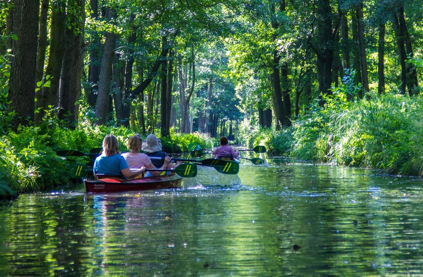
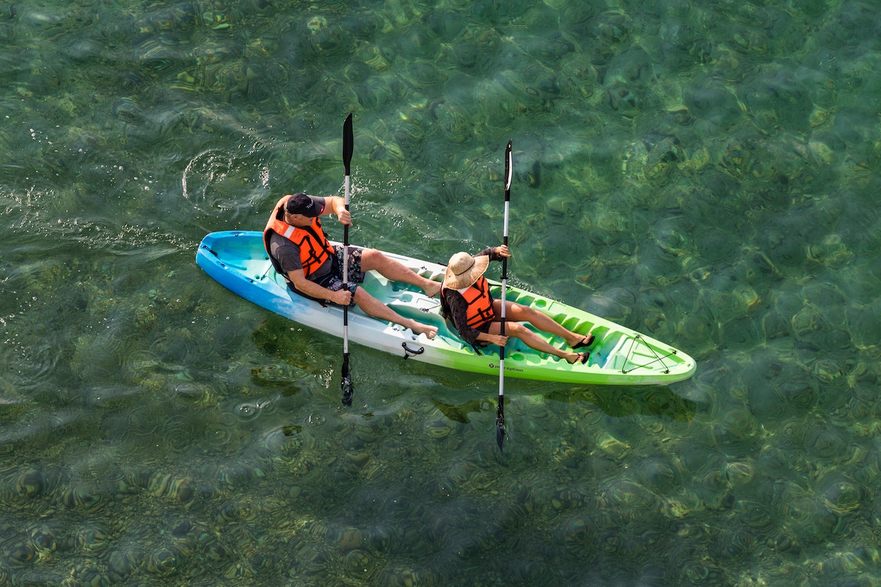
These are thumbs: Girl Scout tubing trip; our front yard put in for trips to Burnside Bridge, Potomac and Bermuda;
The wedding couple leaving for their honeymoon...REALLY!; Classic Poo; Devil's Backbone dam, the Park is Just on the upstream side of our bridge; fishing/trout;
Small Falls On the Creek below Middle Bridge very near McClellan's HQ. Antietam Trip Leader ...nice form, color coordinated, great attitude.
In all we pretty much suffer a low hectic index.

USGS daily water level  link for Antietam Creek, For Entire Potomac Watershed. [NOAA]
We want 2.5 minimum for lower section and 3.2 for upper section] 4 max for rec. boaters

Today's Boonsboro Weather  Information [NOAA]  
  10 Day Forecast , http://www.wunderground.com/cgi-bin/findweather/hdfForecast?query=Boonsboro%2C+MD

LINKs TO AREA Put ins, take outs GPS LOCATIONS - Creek access Points


Creek Right now, SUN  06/07/2015 Creek level 2.8  and should hold for next weekend @ about  [ 200-250 CFS -] WEEKEND WEATHER  day temps about 80° for mid day..... scoot over strainer a little above Keedysville Bridge has been removed Thanks Dave Hubbard/R&T. Dress right, test and check your gear; paddle with good paddlers who know the creek.  keep an eye out for debris and strainers. Upper creek is clear far as I know.  Be careful out there boating or not.

Note: Antietam creek flow [CFS] rises about 600CFS for each foot of creek level. Gradient is about 7 feet per mile avg.  3 feet on the Sharpsburg gauge is about 300CFS and is a nice class I-2ish canoeing level, at 4 feet the volume triples to 900cfs, fast for this creek and class I/II-ish. At 5ft it's 1500CFS class II with creek consequences for recreational boaters. At 7 feet [over bank ,flood] it's 2800CFS, same as the normal Gauley release and dangerous. Antietam can have walk around strainers and deadfall at any level.

.Note: "Canoe Zero" Lower = 2.5 Volume about 150/170CFS, Upper 3.2 300+CFS, Kayak zero 2.3, Zero = a little bumpy; below zero = a lot bumpy . 

 Devil's Backbone Park open till dusk.   For temporary parking etc. you can unload at our gate apron and Park up on our hill. We'll shuttle you to the take out. If we're not there call ...........takes us about 10 minutes to get from our house to DBB, put in.  Bring a rod, permit, wool socks  and a sense of humor.

 
Antietam Creek [history link], the best 22 miles of it, is within an hour of Washington and Baltimore and we are right in the middle at mile post 12....  Kayak, canoe, tube, fish, or just fiddle around. [here's how you contact us]     
More history :   http://bridges.marylandmemories.org/boothsMill.html                 

2015 -  With luck by Summer     we'll be living in/at The Power Plant most of the time....and We will be running Antietam and Seneca canoe and kayak trips and classes w shuttles all year on our own and with Eagle Aquatics & Canoe Kayak and Paddle Co. [CKAPCO] [sched. by apt only. ] ACA Instructor Certification Workshop and Exam  follow-up course in mid June L-1 Intro through L-3 Moving/class II WW. Call or email.

Sample of available Antietam Creek trips, [just click here]

We run [by appointment and reservation] daily rentals, shuttles and trips from Devil's Backbone through Antietam Battlefield to Burnside Bridge and to the Potomac.  We give instruction on River Safety, and run American Canoe Association [ACA] certification and skill courses as well as guided trips: canoe, kayak, tube. We leave Antietam Creek on request [rarely] and run trips/classes on Washington DC's waterfront, Seneca Creek [Violet's Lock & Riley's Lock Loops] Potomac:  Taylor's Landing to Brunswick or venue of your choice. All services are initiated by email or phone appointment & confirmed by deposit. Short notice is possible for unguided trips and shuttles. Do Not rely on a phone message!  Livery details here>

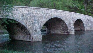
This, the 1833 Charles Wilson / Delamere Bridge [variously called Booth's Mill Bridge, Devil's Backbone Bridge] is in our front yard and about 30 feet from our parking lot. Our put-in for the Creek's lower section is just at the left arch in the picture [click it for full size]. This is the bridge that Stonewall Jackson crossed en route to capture Harper's Ferry in 1862. Busy day that ! Lots and lots of history up here. http://bridges.marylandmemories.org/boothsMill.html ...

Scheduled trips and classes are listed here:

For the 2014 SEASON. We have  16 and 14 foot Mad River Explorer Canoes, solo  Dagger Zydeco kayaks, odds and ends and a SHUTTLE BUS, a real honest to goodness magic school bus.!!!!! with new paint ....it can't be yellow. [Still not legal for the road]livery details are here

                        
coming along slowly27.. but done except for insides, final tune up and inspection.

We are located near Boonsboro Maryland in the (work in process) 1st hydro-electric power plant in Washington County, at Devil's Backbone, where MD rt. 68 crosses the Creek. 19005 Lappans Road  Boonsboro, MD 21713. Come on up, or down if that makes more sense...... and bring oatmeal cookies.  It's a fun place, a pretty place with lots of history; lots to do and see....... Click here for a map link or go to Area Info. for directions and  more detail.

Send us an email if you have questions, suggestions or find something we've done on the tilt side of stupid - we're at paddle@antietamcreek.com

Home Page   Canoe   Kayak    Area Information   Reservation  
Check around locations: Link1   Link2   Link3  

GMP/T&E SYS INK.
Copyright © 1997 [antietamcreek.com]. All rights reserved.
Revised: August 22, 2014.